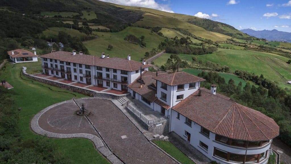
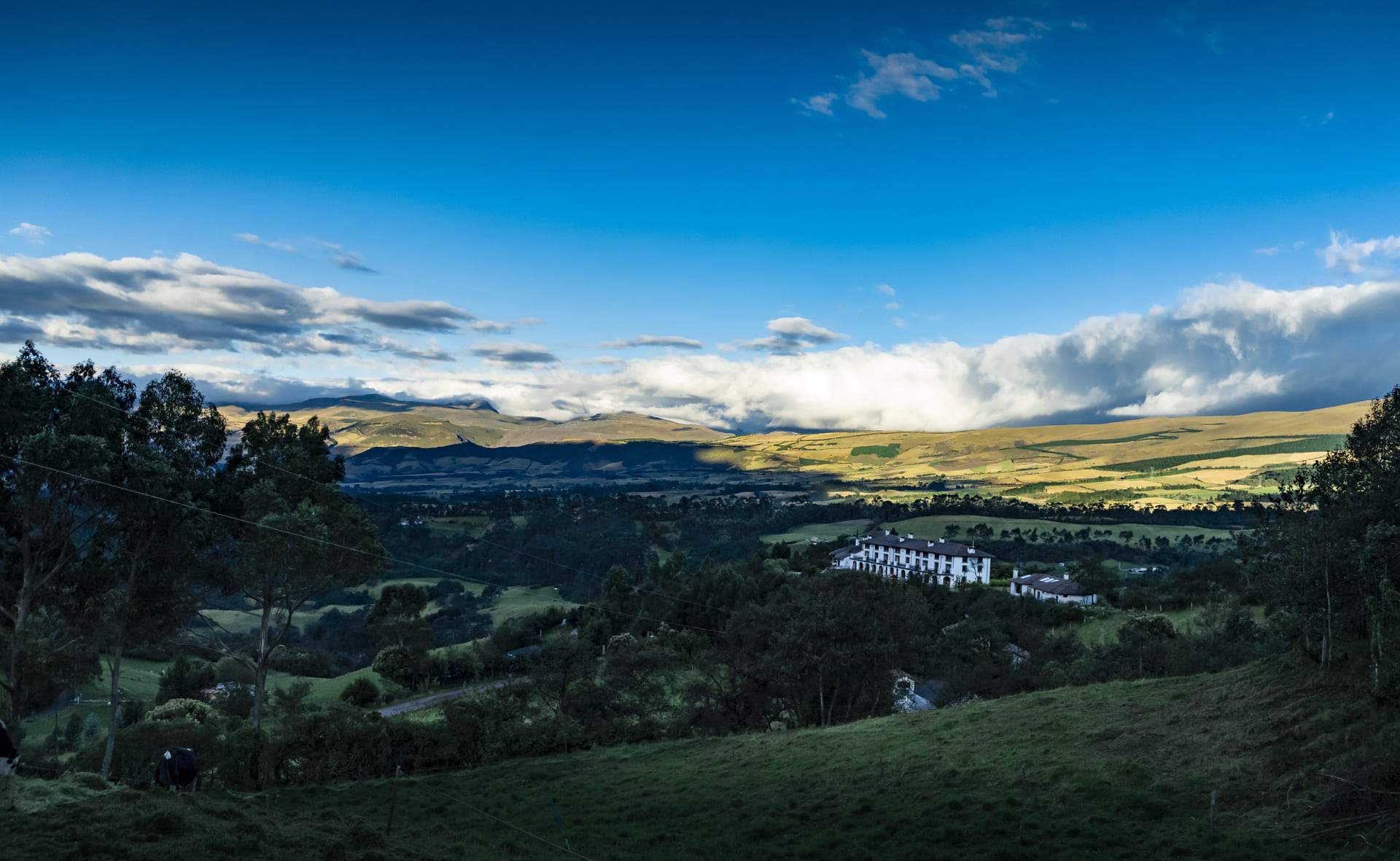
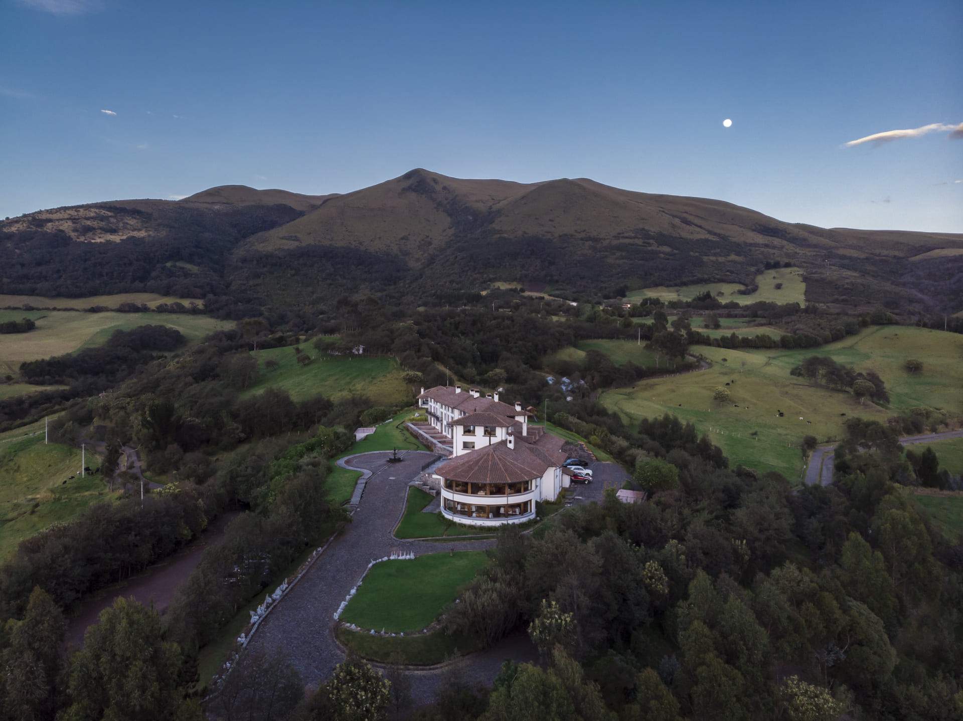
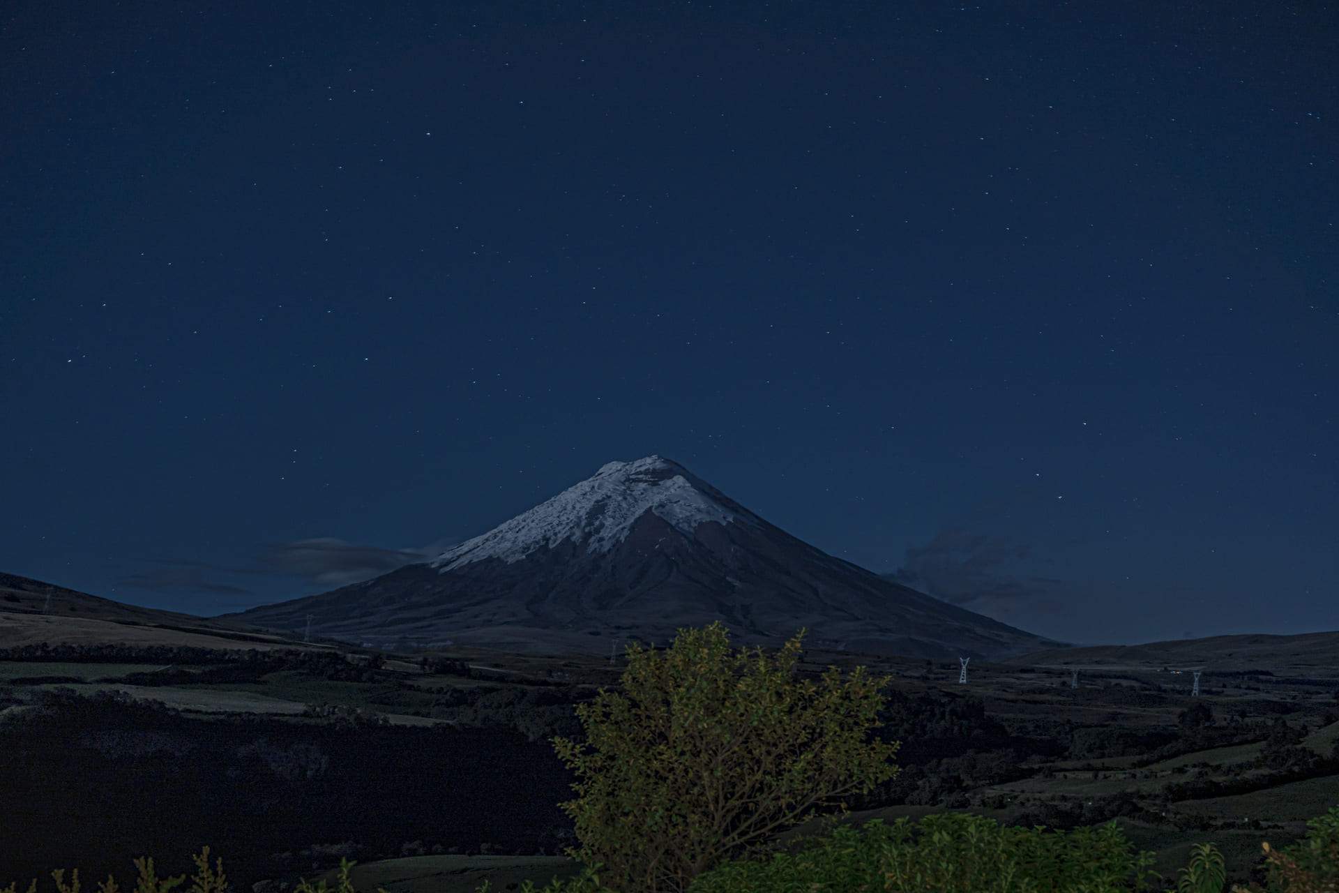
Explore the finca's trails, gardens and traditional Andean farm life, or arrange horseback riding and cycling in the surrounding landscape.
Finca trails
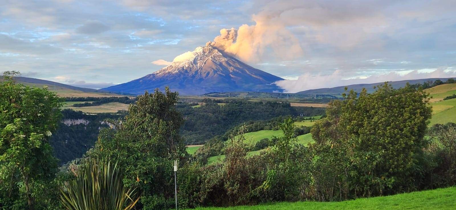
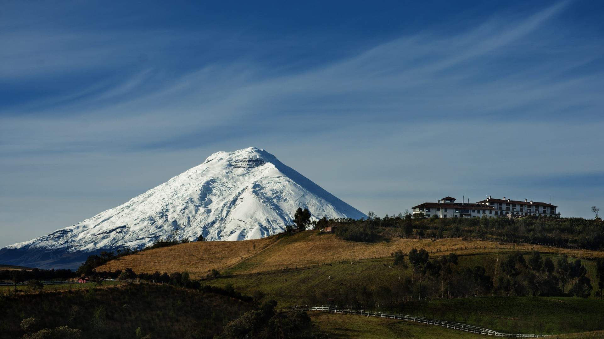
IloñanFollows CotopaxiPungo's perimeter, with views of the Avenue of the Volcanoes and its main peaks.chevron_forward
In Washu, described as the oldest language in the Americas, ilo means man; ñan means path in Kichwa.
IntiñanCrosses about 200 metres of primary Andean vegetation.chevron_forward
Its Kichwa name means Path of the Sun.
QuillañanCrosses about 400 metres of primary Andean vegetation.chevron_forward
Also known as Colunco, its Kichwa name means Path of the Moon.
It may have formed part of an ancient trade route used by the Quitu-Cara people in the pre-Inca period.
The Volcano Cycling Route
Ride the Pita–Tambo aqueduct maintenance road along Pasochoa's eastern slopes for regional Andean views.
Guests must bring their own bicycle.
0 kmStart at CotopaxiPungo
About 6.6 kmViewpoint, northbound
About 13 kmReturn to CotopaxiPungo
Distances are approximate. The route strip is illustrative and not to scale. GPS geometry, elevation, surface information, and turn-by-turn guidance are unavailable.
Route detailschevron_forward
Views extend across the Eastern Andes, its main volcanoes and the inter-Andean valleys of Pichincha Province. Head north from CotopaxiPungo; Antisana, Valle de los Chillos and the Guayllabamba basin can be seen along the way. The recommended ride is about 13 km round trip, with the viewpoint about 6.6 km northbound and views of Los Chillos, Tumbaco, Pifo and Mojanda-Cajas. Choose your distance according to your fitness; the landscape changes with the direction of travel, and Cotopaxi is directly ahead on the return.
pets
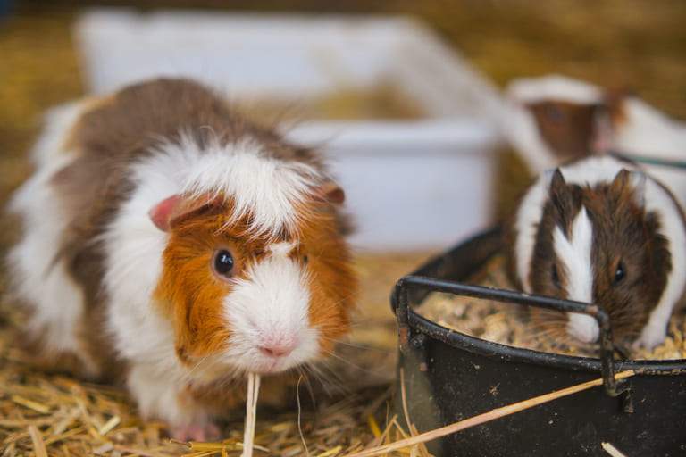
Cuyera
Visit the guinea pig breeding area and learn about these traditional Andean animals and their characteristics.
yard
Our garden
Discover the finca's golden berry (uvilla) cultivation and aromatic herbs native to the area.
chess_knight
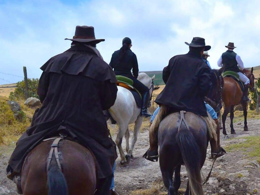
Horseback riding in Rumipamba
The Rumipamba community rents horses for riding. CotopaxiPungo can help arrange a reservation when requested at least 24 hours in advance. Guests make arrangements and pay the provider directly in cash.
Explore Cotopaxi National Park, waterfalls along the Pita River, Pasochoa and local trout fishing. Check current access and conditions before setting out.
Cotopaxi National Parkdirections_car16 km to north entrancescheduleDay visittrending_upVaries by activitychevron_forward
CotopaxiPungo is 16 km from the park's northern entrance: 1.7 km from the finca to the first intersection, then 14.3 km to the entrance. Places to visit include Limpiopungo, the natural springs, Pucará de Salitre, the Alumies aqueduct maintenance road and José Ribas Refuge at 4,800 metres.
Getting there: Leave the finca, turn right after 50 metres and continue downhill for 1.7 km. Turn right at the intersection and continue straight, passing Hacienda Santa Rita and the EMAP water intake. Do not take the turn to Machachi; continue to the park's northern entrance. Check official notices, access, permits and restrictions before travelling.
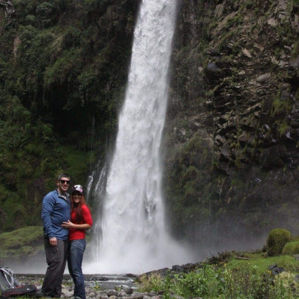
Pita River waterfallsdirections_car2.2 km to La Calderaschedule2 trails · 2.5–3 hourstrending_upLow difficultychevron_forward
Cóndor Machai: An 8 km round trip of about 3 hours, with low difficulty and physical demand. Follow the Pita River upstream and cross 11 bridges. The trail starts at 3,088 metres and reaches 3,174 metres. It passes through well-preserved Andean vegetation, including bromeliads, orchids, ferns, anthuriums, alders, puma maquis and Andean birdlife. At about 90 metres high, Cóndor Machai is the largest waterfall in the Pita River basin.
Vilatuña: A 3.3 km round trip of about 2.5 hours, also with low difficulty and physical demand. Follow the Pita River downstream from 3,088 to 3,022 metres. The route includes several bridges and one point where you must cross the river on foot. Along the way, see waterfalls and rapids, Andean vegetation and birdlife, as well as Vilatuña and Molinuco waterfalls.
Getting there: Both trails start at La Caldera, 2.2 km from CotopaxiPungo. Leave the finca, turn right after 50 metres and continue downhill for 1.7 km; turn left, continue 300 metres and turn right at the next intersection. Park about 200 metres before the bridge over the Pita River. For Vilatuña, wear suitable clothing and footwear for crossing the river. Check access and trail conditions before setting out.
Pasochoa 4,200directions_car4 km northscheduleDay triptrending_upLow difficultychevron_forward
About 4 km north of CotopaxiPungo on the Pita–Tambo road, Hacienda Pasochoa 4,200 is on the left. After paying the admission fee, follow the road to the viewpoint at 3,900 metres; a four-wheel-drive vehicle is recommended. From there, a low-difficulty trail climbs to the 4,200-metre summit. On clear days, 26 of Ecuador's 84 mainland volcanoes are visible, along with the Guayllabamba basin and surrounding towns and cities. The panorama is comparable to, or wider than, the view from the cable car on Pichincha.
Getting there: Check admission, road and trail conditions with Hacienda Pasochoa 4,200 before visiting.
Sport fishing in El Pedregaldirections_car11 km from the fincaphishingTrout fishingwaterCommunity trout farmschevron_forward
Fish for trout at one of the community farms in El Pedregal and enjoy the Andean páramo landscape.
Getting there: From the finca, turn right after 50 metres and continue downhill for 1.7 km. Turn right at the intersection and continue south without turning, passing Hacienda Santa Rita and the EMAP facilities. Shortly after kilometre 10, look for a two-storey house on the right; turn right there to reach the fishing area. Confirm local arrangements before setting out.
From CotopaxiPungo, plan ascents and outings towards Cotopaxi, Quilindaña, Sincholagua, Rumiñahui, Illinizas, Antisana, Pasochoa and Chacana. Always confirm route conditions, permits, equipment and requirements with official sources and your guide.